
01 / 03
Geospatial Analysis at the Nicholas School
Geospatial analysis skills are an absolute necessity to understand and solve complex environmental issues in our natural and built worlds. Discover how Duke's environmental master's degrees provide opportunities to gain cutting-edge skills in geographic information systems (GIS), satellite remote sensing and drone technology.
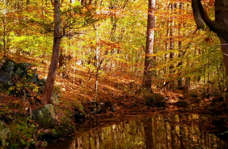
02 / 03
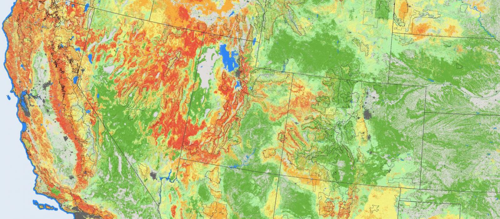
Mapping the Future
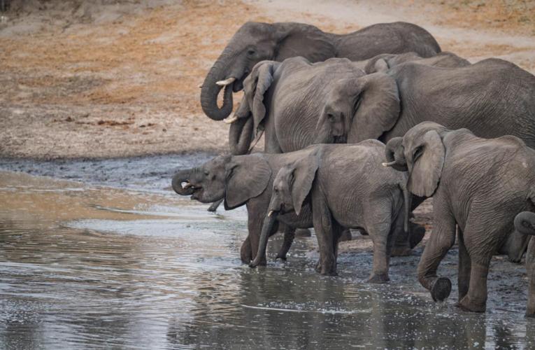
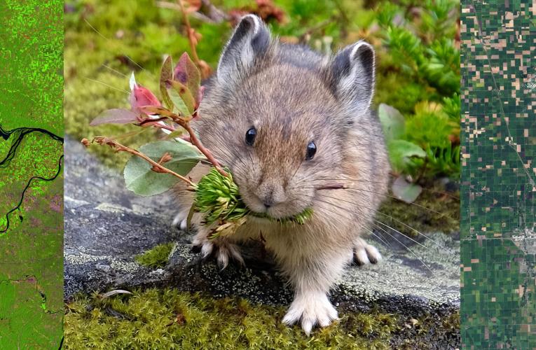
Climate change threatens species worldwide. At the Nicholas School, we’re creating new geospatial tools that boost their odds of survival. With more than half of the world’s species now on the move because of climate change, finding solutions to these and related conservation challenges is increasingly urgent.

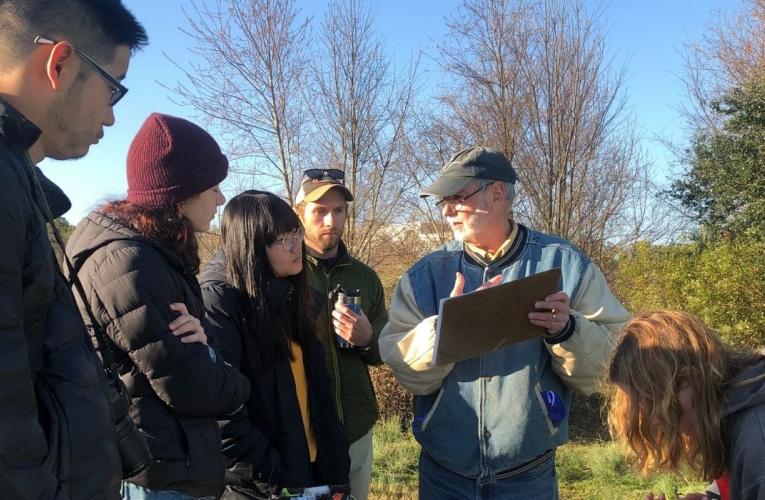
03 / 03
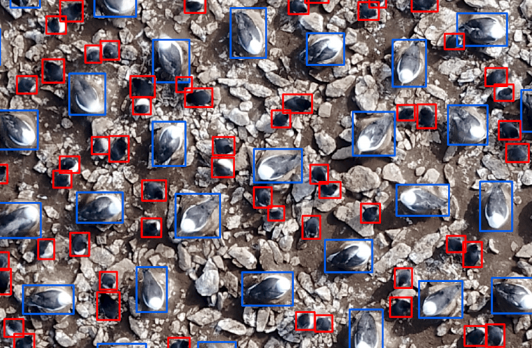
using gis to study Antarctic coastal habitats
As part of a Bass Connections project team, Chelsea Tuohy MEM’22 worked with leading scientists to establish and integrate diverse remote sensing datasets in the study of rapidly shifting polar ecosystems amid global climate change.
Curricula
The Geospatial Analysis certificate curriculum is intended to augment the educational tracks of a wide number of students from across the Nicholas School. The flexibility of this program will allow students to develop customized sets of fundamental and elective courses to pursue tracks such as:
- GIS and spatial data analytics
- Remote sensing analysis
- UAS/drones and field data collection
The Geospatial Analysis certificate requires 4 courses or course credit equivalents from the geospatial curriculum. The certificate requires at least 1 fundamental course (4.0 credits) and 3 geospatial elective courses or course equivalent modules (minimum of 9.0 additional credits).
Fundamentals: 1 course (4 credits)
Choose 1 course or course equivalent (4 credits) from the following:
ENVIRON 559 Fundamentals of Geospatial Analysis
This course is the gateway into more advanced training in the Geospatial Analysis curriculum. ENVIRON 559 covers fundamental aspects of geographic information systems and satellite remote sensing for environmental applications. Requires permission of instructor.
Semesters offered: Fall and Spring
Instructor: Pat Halpin / Peter Cada
Lecture / Lab
4 credits
If you have a strong background in GIS, it is possible to skip ENV559: Fundamentals of Geospatial Analysis. This is determined on a case-by-case basis. However, you would still be required to fulfill the 3.5 course requirement from the remaining curriculum. Other courses may be allowable from Duke or other institutions - this must be discussed ahead of time with the geospatial faculty.
ENVIRON 558 Satellite Remote Sensing for Environmental Analysis
Environmental analysis using primarily satellite remote sensing. Theoretical and technical underpinnings of remote sensing (georectification, image analysis, classification) coupled with practical applications (land cover mapping, change analysis, ground truth techniques). Strong emphasis on hands-on processing and analysis. Will include variety of image types: multi-spectral, hyper-spectral, radar and others. 4 credits.
Semesters offered: Fall
Instructor: TBD
Lecture / Lab
4 credits
Geospatial Electives: 3 courses (9 credits)
Choose 3 courses or course equivalents (minimum of 9 credits) from the following:
- ENVIRON 765 Geospatial Analysis for Coastal and Marine Management
This application course focuses on spatial analysis and image processing applications to support coastal and marine management. The course covers benthic habitat mapping, spatial analysis of marine animal movements, habitat modeling, and the optimization of marine protected areas. The course requires a fundamental knowledge of geospatial analysis theory and analysis tools.- Prerequisite: ENVIRON 559
- ENVIRON 761 Geospatial Analysis for Land and Water Management
This application course focuses on spatial analysis and image processing applications to support conservation management. The course covers habitat mapping, spatial analysis of animal movements, habitat modeling, and the optimization of nature reserve selection. The course requires a fundamental knowledge of geospatial analysis theory and analysis tools.- Prerequisite: ENVIRON 559
- ENVIRON 771 Geospatial Data Collection and UAS
This field module will provide training in field data collection and mapping skills: Creating geodatabases for field data collection, Using Trimble GPS units, differential correction of GPS data, mobile GIS interfaces (ArcPad). The course requires a fundamental knowledge of geospatial analysis theory, analysis tools, and applications.- Prerequisite: ENVIRON 559 or 558
- ENVIRON 7xx Geospatial Data Analytics
This advanced lecture/laboratory course will provide training in more advanced skills such as: GIS database programming, modeling applications, spatial decision support systems and Internet Map Server technologies. The course requires a fundamental knowledge of geospatial analysis theory, analysis tools, and applications.- Prerequisite: ENVIRON 559
- ENVIRON 735 Drones in Marine Biology, Ecology & Conservation
Includes a full overview of past and emerging applications for ecology and biology of marine species and coastal habitats with in-depth discussion on future of drone applications in coastal biological and ecological research. Comprehensive exploration of current drone technologies, including detection of target species, payloads, aeronautical concepts, rules and regulations, mission planning, aircraft design, maintenance, data collection, management and analysis. Components tailored to student interests: Active participation in megafaunal or environmental research and data analysis. Building, operating and maintaining aircraft, programming for manual and autonomous flight. - ENVIRON 790 LiDAR
Special topics course. Content to be determined each semester.- Prerequisite: ENVIRON 559
- ENVIRON 790 Topics in Geospatial Analytics
Special topics course. Content to be determined each semester.

One of the main things that initially drew me to the Nic School was the impressive array of GIS coursework offered. In particular, I was really excited about the Geospatial Analysis for Coastal and Marine Management course taught by Dr. Pat Halpin, a marine GIS legend of his own right. I feel really fortunate to have a strong foundation in geospatial analysis and now have Pat as my MP advisor to guide me through my project.”
–Rabiya Dar, MEM’22, Coastal Environmental Management student
How to Pursue
Students who wish to pursue this certificate program should complete the Add Certificate Request Form.
For more information on certificate courses, please contact one of the certificate directors, Pat Halpin or Peter Cada.
Forms
Faculty & Staff Training
As a service to the greater Duke University faculty and staff, the Geospatial Analysis program offers training in geospatial technologies. The skills gained are intended to benefit research opportunities for the university. Part of this training includes free access to the ESRI Virtual Campus, as part of the GIS site license. The following web page lists all free classes included in the Annual Users License: http://training.esri.com/gateway/index.cfm?fa=aul.premiumCourses
Please contact Pat Halpin or Peter Cada for more information.

Related News